wellness
Best Hiking Trails in Seoul: Rated by Distance & Difficulty
Discover Seoul's best walking trails rated by fitness level. From riverside paths to mountain ridges, find your perfect route in Korea's outdoor fitness boom.
Listen in English · 4 min
How we reported this
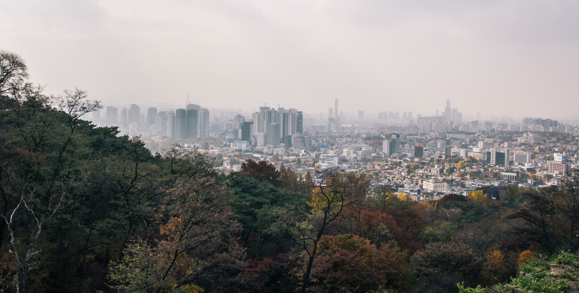
Seoul has more publicly accessible urban trail kilometres than almost any comparable city of its size, and city data from the Seoul Metropolitan Government shows trail usage across major green corridors rose 18 percent between 2023 and 2025. On a Friday morning in early July, the paths threading through Bukhansan National Park are already busy by 7 a.m., hikers in full technical gear brushing past office workers in sneakers doing a quick lap before their commutes.
The surge matters now for a specific reason: summer in Seoul is brutal. Humidity sits above 80 percent through July and August, and public health advisories from the Korea Disease Control and Prevention Agency consistently flag heat-related illness as a seasonal risk. Choosing a trail calibrated to your fitness level, not just your ambition, is genuinely consequential this time of year. A shaded riverbank route and a fully exposed granite ridge are not interchangeable, even if both show up on the same hiking app.
The Easier End: Flat, Shaded, Forgiving
The Cheonggyecheon Stream path is the obvious entry point for beginners or anyone returning to regular movement after a long break. The restored waterway runs 10.9 kilometres from Cheonggye Plaza near Gwanghwamun all the way to Sindap, descending gently below street level the entire way. Shade from the overpass sections and consistent water features keep temperatures measurably cooler than the surrounding streetscape, Seoul National University researchers found a 3.6-degree Celsius difference in a 2022 micro-climate study along the corridor. The surface is paved, lighting is reliable until 11 p.m., and entry and exit points appear every few hundred metres. Difficulty: easy. Best for: daily walkers, families, anyone managing joint issues.
A step up in both length and scenery is the Hangang River path network, which stretches more than 40 kilometres along both the north and south banks. The Yeouido section, running between Wonhyo Bridge and Yanghwa Bridge, is particularly well-maintained and offers 5.6 kilometres of flat cycling and walking path with toilet facilities, convenience stores, and rental equipment available through the Seoul Bike (Ttareungyi) kiosks. Daily membership costs 1,000 won. Difficulty: easy to moderate depending on distance chosen.
For the Serious Climbers: Ridges and Elevation
Inwangsan, rising 338 metres in the Jongno-gu district, delivers genuine elevation in a compact package. The main trail from Suseongdong Valley to the summit and back runs roughly 4 kilometres, but the gradient through the rocky upper section earns it a solid moderate-to-hard rating. The Fortress Wall trail that traces the old Hanyangdoseong city wall along Inwangsan's spine adds historical texture, portions of the 18.6-kilometre wall circuit are well-restored and heavily used by Seodaemun-gu and Jung-gu residents on weekend mornings. Entry via Changuimun Gate (Jahamun) on the north side of the wall is free.
Bukhansan National Park remains the most demanding option within the city limits. The Baegundae peak trail, 836 metres above sea level at its summit, clocks in at approximately 8.5 kilometres return from the Ui-dong entrance and involves scrambling over exposed granite near the top. The Korea National Park Service requires visitors on the Baegundae route to carry 500ml of water minimum and strongly advises against attempting the upper section between 11 a.m. and 3 p.m. during July and August. Difficulty: hard. Cumulative elevation gain runs close to 650 metres. The park recorded over 4.5 million annual visitors in 2024, making trail congestion a practical consideration on weekends.
Wherever you decide to start, the Seoul Metropolitan Government's 'Seoul Dulle-gil' trail network offers a useful planning framework, its eight colour-coded circuits ring the city at varying elevations and are rated by difficulty on the official Seoul Tourism Organisation website, with each segment marked in Korean and English. Download the trail maps before heading out; mobile signal in the upper Bukhansan sections is unreliable. And consult a local physician before taking on significant elevation if you have cardiovascular or respiratory concerns, the combination of July heat and genuine gradient is not trivial.
This article was compiled by AI and screened before publishing. See our editorial standards.