wellness
Best Running Routes in Seoul 2026
Seoul offers more than 100 kilometres of paved Han River paths, the 8.4 kilometre Namsan loop beneath N Seoul Tower, and the restored Cheonggyecheon stream walkway, a Joseon-era waterway daylighted from beneath a demolished highway in 2005.
Listen in English · 3 min
How we reported this
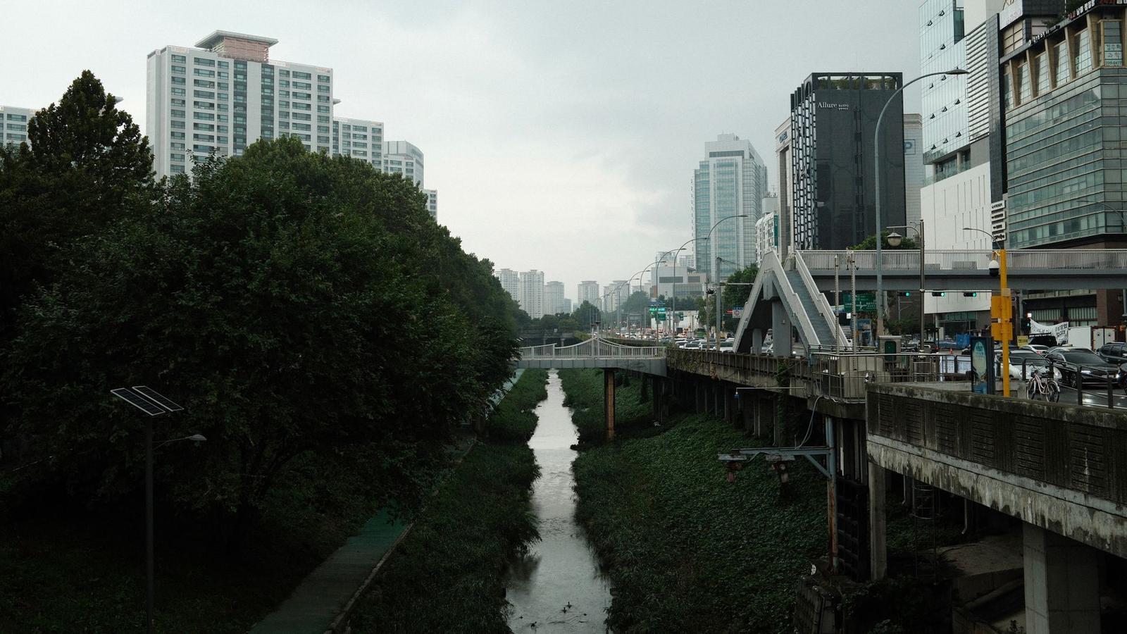
Seoul has some of the best-built urban running infrastructure in Asia, with rest stations, distance markers and exercise equipment along its main routes. Here are the best running routes in Seoul for 2026.
The Han River Parks
More than 100 kilometres of continuous paved paths line both banks of the Han River, with rest stations, water fountains and exercise equipment roughly every 2 kilometres, plus painted distance markers throughout. Popular stretches include a flat 8 kilometre loop around Yeouido island with skyline views, a 5 kilometre section of Banpo Hangang Park between the Dongjak and Dongho bridges, home to the Rainbow Fountain Bridge's nighttime fountain shows off Banpo Bridge, and Ttukseom, which connects directly into Seoul Forest.
Namsan Park Loop
The Namsan Dulle-gil is an 8.4 kilometre circular trail around Namsan, or South Mountain, with about 298 metres of elevation gain, taking roughly two and a half to three hours. It is paved and well marked, mixing flat stretches with inclines and stairs, and passes below N Seoul Tower, the city's iconic 1975 observation tower, with skyline views across central Seoul. A steeper 2 kilometre climb runs directly from the Seoul Arts Center up to the tower itself.
The Cheonggyecheon Stream Walkway
The Cheonggyecheon is an 11 kilometre flat, mostly car-free path along a restored stream through downtown Seoul, crossed by 22 pedestrian bridges. Originally a Joseon-era waterway dating to 1392, it was paved over with an elevated highway after the Korean War, then daylighted and restored in a landmark urban renewal project between 2003 and 2005. It is now one of Seoul's most visited public spaces, with a dedicated museum telling that history.
Seoul Forest
Seoul Forest, opened in June 2005 on a former water-treatment site near Ttukseom, offers roughly 3 to 4 kilometres of tree-lined paths through its four park sections, plus a longer perimeter runner's loop of about 4.5 kilometres and a separate bike road. It links directly south to the Han River path for a longer combined run.
Running the Seoul Marathon Route
The Seoul Marathon, held annually in mid-March with roughly 35,000 runners, starts at Gwanghwamun Plaza and finishes at Jamsil Sports Complex, site of the 1988 Seoul Olympics stadium. With only about 120 metres of total elevation gain, it is one of the flatter major-city marathons in the world.
Practical Guide to Running in Seoul
The Han River paths and Cheonggyecheon are the most reliable choices for a flat, well-maintained run at any time of day; Namsan is the better option for anyone wanting genuine elevation and skyline views close to the centre.